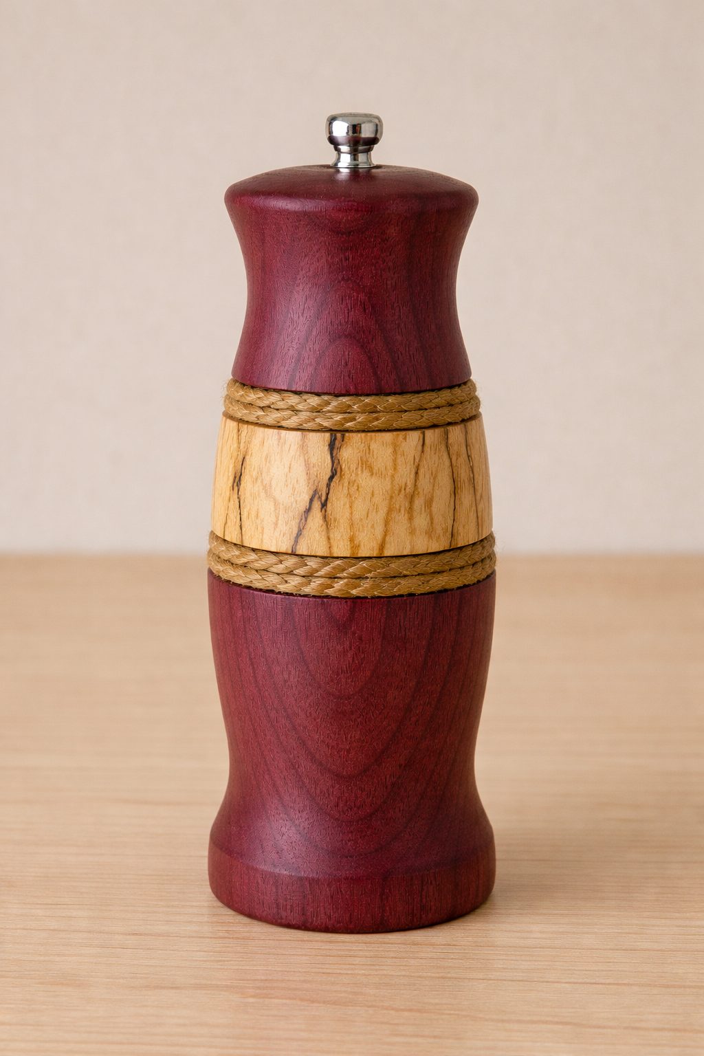
Purpleheart & Spalted Maple Pepper Mills
Sometimes the wood gets to decide what it wants to become.
Custom projectPersonalizable
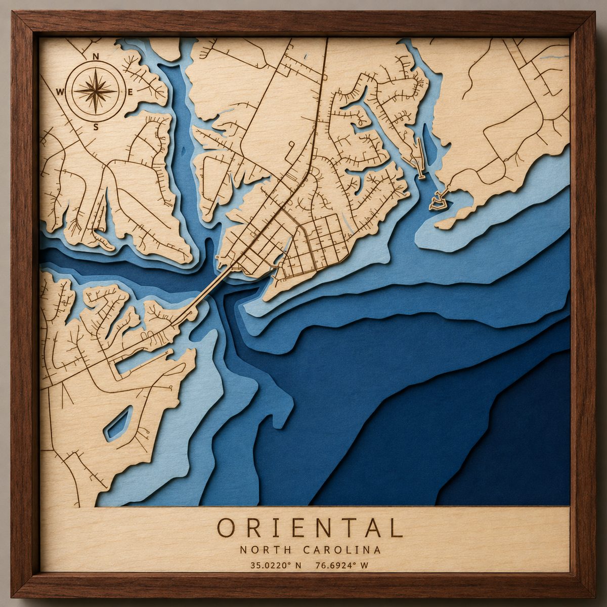
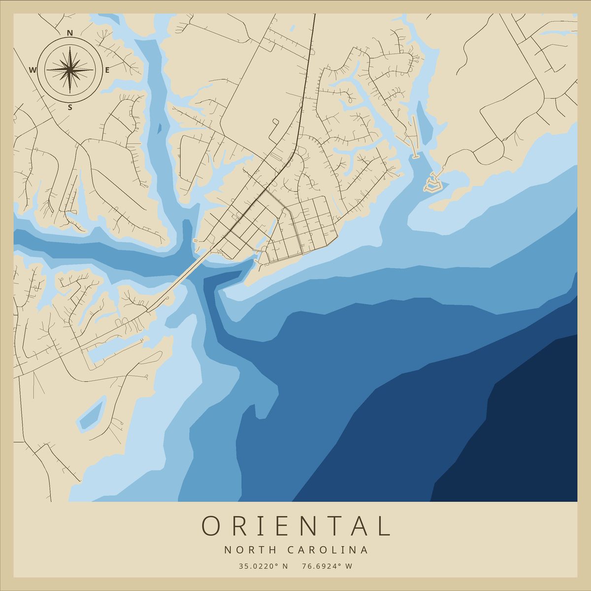
A 12-inch map of Oriental, NC built from seven laser-cut layers, with engraved streets and water depths taken from real NOAA soundings.
Oriental sits on the Neuse River just short of Pamlico Sound and calls itself the Sailing Capital of North Carolina, which makes it a good map: more water than land, and a town that hugs the edges.
Each layer is cut from its own sheet. The top one carries the land, with every street engraved into it. The five below are water, each a little deeper and darker than the last, cut from real depth soundings so the shading actually means something. Stack them flush and the harbor falls away into the river.
About the picture: that's an AI render. The real one sold before anyone took a decent photo of it. We can make you another.
Sometimes the wood gets to decide what it wants to become.
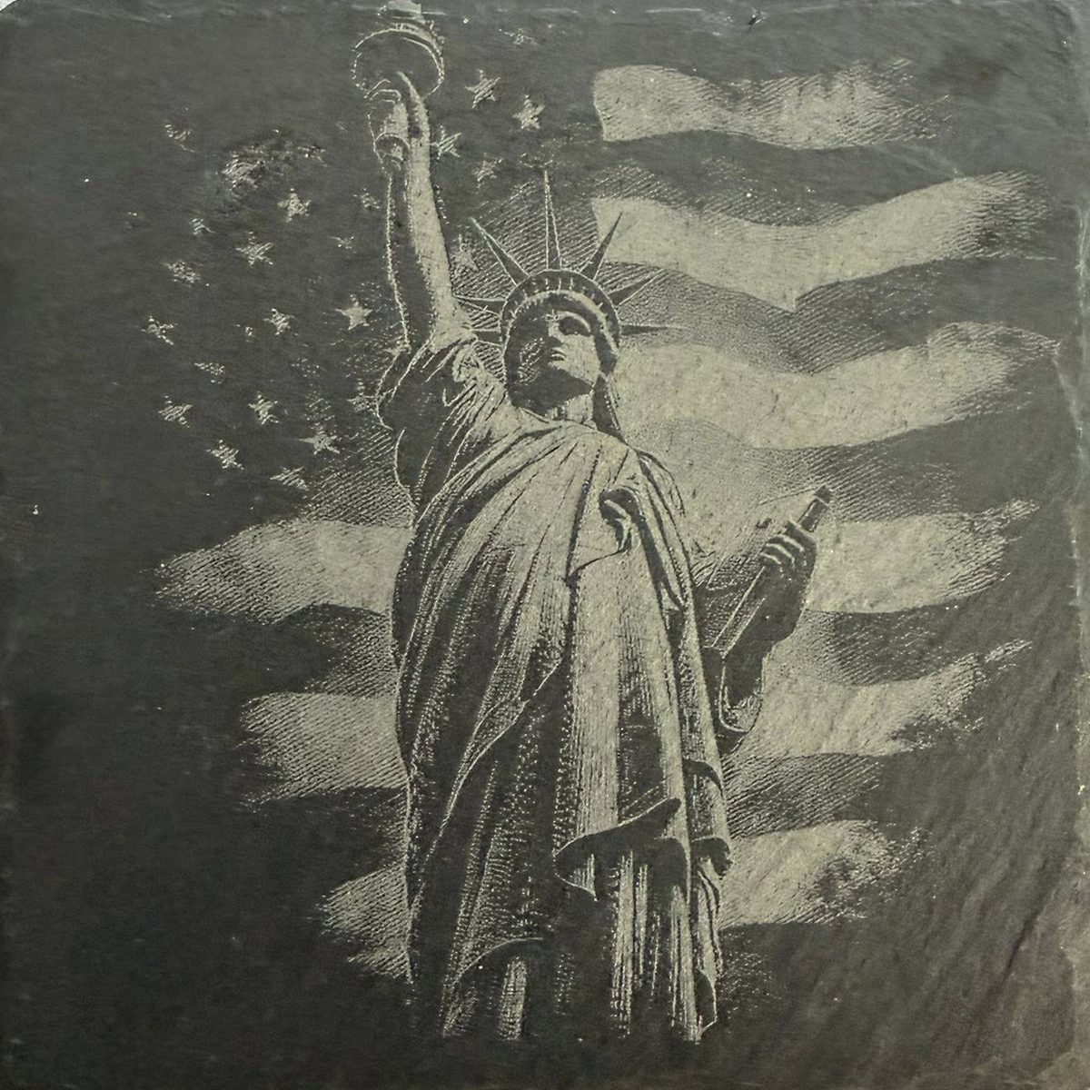
Photographs and fine artwork engrave on slate in surprising detail.
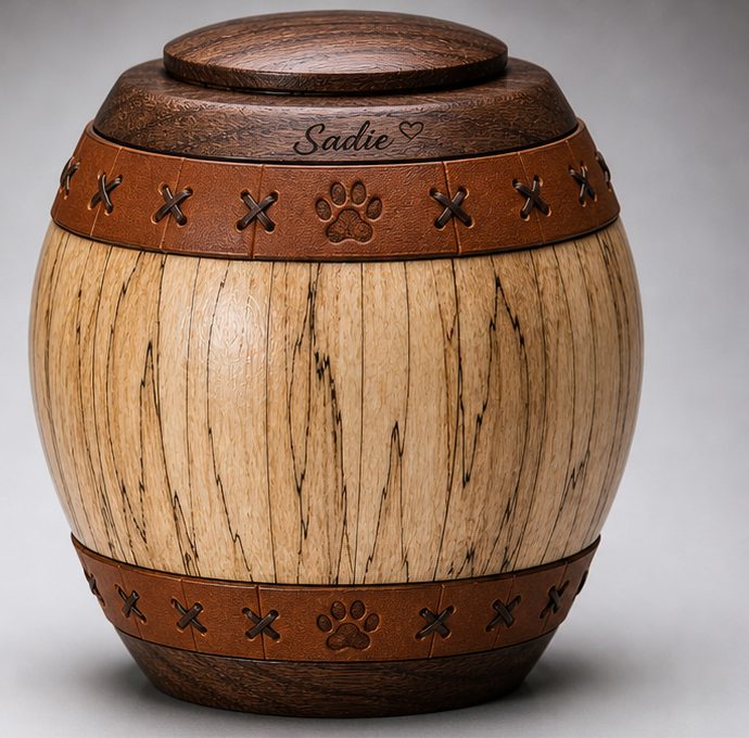
Small details, kept quiet, so the piece stays timeless.
Don't see it? That's normal. Most of what we make started as somebody's idea.